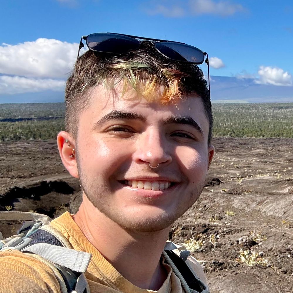
Orion Hon
University of Arizona
Exploring the origin of volcanic features on the Moon using remote sensing-based geomorphologic observations and terrestrial analogs
Lunar sinuous rilles are important to understanding the volcanic history of the Moon because they are a prominent type of volcanic lunar feature still observable on the surface, the amount of variability of which are limited due to the widespread mare basalts and/or impact related surface alterations. One such way of investigating their origin and formational behavior in relation to past lunar volcanic activity is through the morphological study of these features and comparison with observed analogous terrestrial volcanic activity. My investigation of a specific lunar sinuous rille, located in the northern Aristarchus region and bridging multiple types of lunar terrain, was used to carry out the morphological analysis to determine how the feature formed. This ~3 Gya sinuous rille is a structurally complex volcanic feature with two convening branches that flowed South to North, and which contains morphologic similarities to Hawaiian lava channels and tubes. By using the more well-understood and documented cases of Hawaiian channel and tube formation as analogs for this rille in combination with remote-sensing observations of the rille, it has been possible to determine associated formation mechanisms for the rille based on its overall morphology as well as that of specific features found within it. This investigation showed that the lava behaviors responsible for the rille morphologies observable today were largely controlled by the pre-exiting topography and proximity to the vent resulting in an evolution along its length from its start as an erosive regime that cut through pre-exiting material on the side of the Aristarchus Plateau, to a constructional channel on the flat lying maria which transitioned into an inflated sheet flow where it merges in to the mare at the rille’s northern distal end.
My future/ongoing work includes expanding on the terrestrial analog aspect of understanding the history of lunar volcanism, through field work with visual geological techniques and Ground Penetrating Radar (GPR). The nature of the vast lava flows that make up the maria found on the lunar surface is that many of the volcanic features which could be used to understand the behaviors of lunar volcanism billions of years ago have been buried. To this end, GPR is a non-invasive geophysical technique that allows for the collection of subsurface data, such as is needed in the lunar setting for the non-surface features we can’t view. Field work sites in volcanic terrains, such as cinder cones on Maunakea (HI), have been selected because they contain multiple layers of volcanic products making them good analog sites for use of GPR on the Moon. By refining the process of collecting, processing, and interpreting GPR data to isolate and identify specific buried geologic units on Earth at these analog sites, will ensure that the future data collected using this geophysical method on the Moon returns scientifically valuable information about the subsurface.

Figure: A map showing the northern Aristarchus region using the Lunar Reconnaissance Orbiter Camera’s (LROC) Wide-Angle Camera (WAC) basemap (Robinson et al., 2010) with labels of major features and a red box indicating the location of the Northern Aristarchus Sinuous Rille (NASR). The inset in the red box on the right shows a detailed look at the NASR using an elevation map (SLDEM2015 by Barker et al., 2016) with labeled/mapped features of the NASR and major surrounding/related geologic features. The elevation map shows an overall decrease in elevation along the Western Branch and Joined Branch from South to North, an indicator of flow direction for this rille. The inset in the white box shows LROC Narrow-Angle Camera (NAC) imagery of the source depression where the Western Branch of the NASR originated at its southern end, before flowing northward and becoming a part of the Joined Branch then merging into the distal mare at the NASR’s northmost end.